

Content of the Reports
Survey reports contain general descriptions for the location, geology and geomorphology, climate and water resources of the land systems. Land units are described in terms of their relative area, landforms, soils and plant communities and, in most reports, their distribution is shown on illustrative block diagrams.
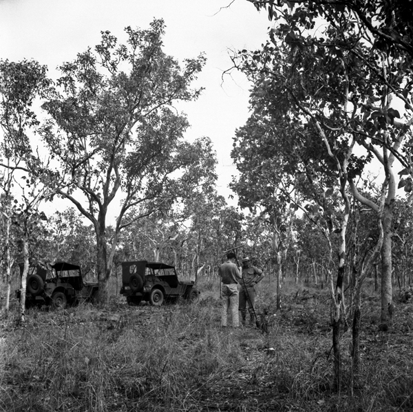
Site between Grove Hill and Burrundi, Northern Territory, Darwin–Katherine Survey 1946
The survey reports also include several chapters by disciplinary specialists. In almost all cases, these chapters include information on climate, geology, geomorphology, soils, and vegetation. Many also include forest resources, pastures and pasture lands, land use, land capability and potential land use. Some reports include chapters or special sections of chapters describing pastoral industries, mineral deposits, hydrology, water supply and wildlife.

Soil sampling on the plateau, north of Ronlow Park Queensland, Nogoa–Belyando Survey 1964
All reports contain one or more maps. Apart from Land Systems (or in some cases Land-Forms or Land Units) most reports also have maps for geomorphology, soils and vegetation, and some have one or more maps for topics such as pasture lands, forest types, climate, geology, land use groups, land suitability, and survey traverse routes and observation sites.
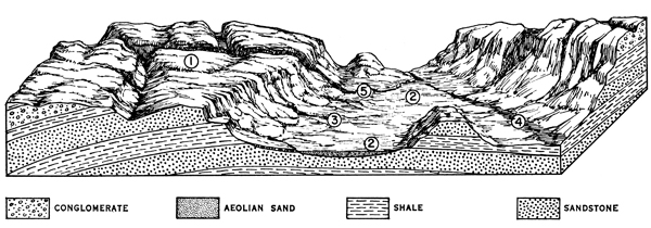
Illustrative block diagrams show reference to Land Unit descriptions