

Culmination of the Program
There was wide interest in CSIRO’s methodology in many countries and several mainland surveys had guest scientists from other countries such as India, Japan, Canada and Britain. Technology developments, in particular in relation to imagery and its acquisition, and research into the measurement of many parameters of landscape generated a lively exchange between scientists in Australia and other countries – notably the USA, Canada, the UK and the Netherlands.
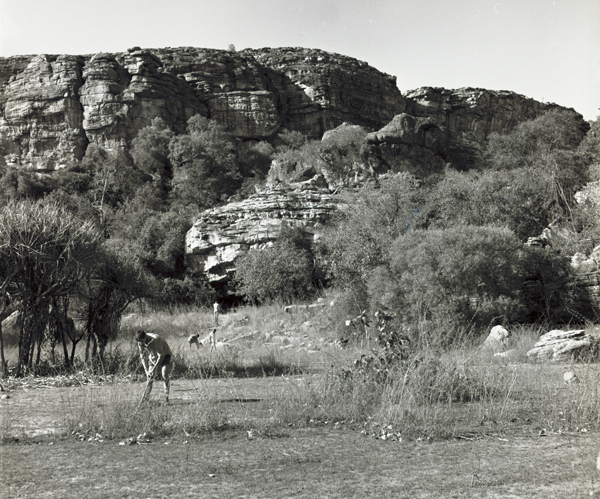
Inspecting the site during the East Alligator Survey, Northern Territory 1965
CSIRO took two special initiatives. First, it conducted a survey in the Queanbeyan–Shoalhaven area (No. 24) to provide a basis for comparison of ‘traditional’ land systems with the new parametric and numerical approaches. Second, it organised a major international congress on “Land Evaluation” in 1968 that included field excursions in the Queanbeyan–Shoalhaven survey area.
Subsequently, only one survey followed the ‘traditional’ land system model and all other reports demonstrate the ascendency of parametric analysis and description and identification of simpler, more uniform land units. Parametric analysis and computer-based numerical classification techniques were pursued for some years in the Queanbeyan–Shoalhaven area, but the results of these studies are not published in this Land Research Series.
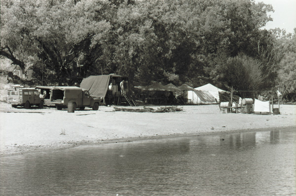
Claravale Base Camp on the Daly River, Northern Territory 1961